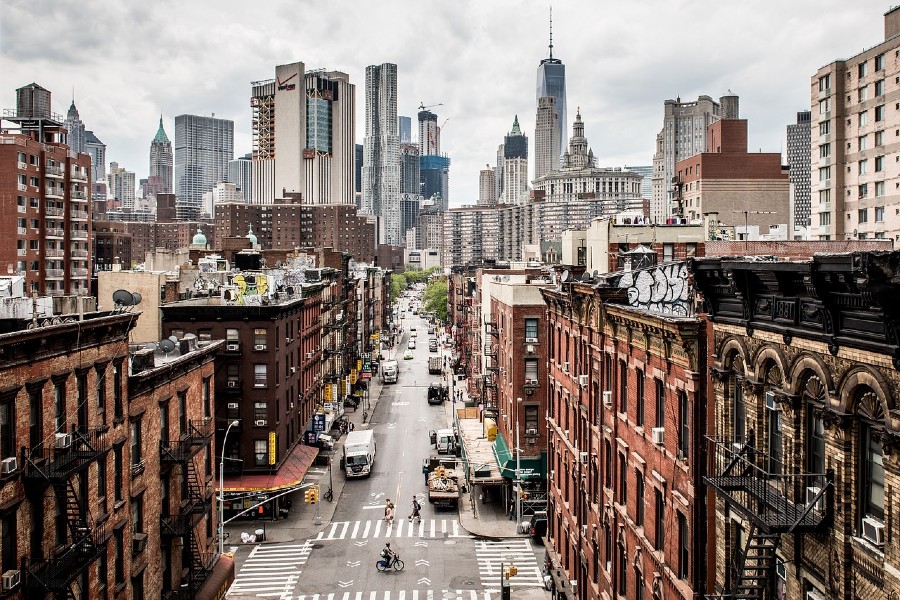
 The East River, which runs along the eastern edge of Manhattan, was once the busiest industrial waterway in America–and, some say, the dirtiest. Even today, swimming in the river is strongly discouraged for health reasons (though the rats I see crawling out of there seem fine). Still, New York is rapidly changing, and so are her waterways.
Early last year, Mayor Bloomberg announced a major initiative to turn the city’s post-industrial riverfront sites into usable public spaces. His so-called Vision 2020 plan has already seen some of the city’s 500 miles of shoreline transformed into parks. For example, the first of three sections of the East River Esplanade, designed by Ken Smith and SHoP Architects, opened last fall. A number of other riverfront parks are under construction throughout the boroughs. Spurred also by the success of industrial reclamation projects like the High Line, New York politicians seem to have rediscovered the power that parks yield.
But let’s get back to the East River. Despite its recent downtown makeover, other sections of the Waterfront are still some of the most pedestrian-unfriendly parts of Manhattan. The eastern edge of the city grid is dominated by the foreboding FDR drive, a raised highway that overshadows the meager footpath that runs along the river. At times, no path even exists – it is one of the last remaining gaps in the bike-and-pedestrian greenway that rings the city in an otherwise continuous loop.
CIVITAS, a non-profit that works to improve land use in East Harlem and the Upper East Side, decided to take matters into their own hands earlier this year. Working with local politicians, they staged an ideas competition to redesign a section of the waterfront that runs from 65th Street to 125th Street, a massive chain of land that’s currently plagued by sinkholes and bad planning. The goals of Reimagining the Waterfront were simple – to catch the attention of city officials and developers, while garnering community support for a project with obvious benefits.
The competition wrapped up late last month, and the winning entry is fairly transfixing. Syracuse University architecture student Joseph Wood proposed a network of Venetian canals woven through the Manhattan street grid. Wood’s sepia-toned renderings describe a sinuous series of promenades, streams, and pathways threading through the existing urban infrastructure that runs along the island. Pedestrian bridges rise over FDR Drive, while bike paths rise over slower-moving foot traffic. Below the undulating strands of public space run city service cores.
 The proposal is inadvertently reminiscent on a long-forgotten element of East River history. During the 19th and 20th centuries, industrial canals existed along the waterfront to move goods and waste too and from Manhattan. These inlets have long ago been filled in, but Wood’s idea would see the inlets carved out once again – this time for public use.
Bloomberg Transportation Commissioner (and people’s hero) Janette Sadik-Khan has already transformed certain Manhattan streets into public parks. Why shouldn’t the city do the same for public waterfronts?
Related articles

Become a Harlem Insider!
By submitting this form, you are consenting to receive marketing emails from: Harlem World Magazine, 2521 1/2 west 42nd street, Los Angeles, CA, 90008, https://www.harlemworldmagazine.com. You can revoke your consent to receive emails at any time by using the SafeUnsubscribe® link, found at the bottom of every email. Emails are serviced by Constant Contact


