 Agriculture is one of the industries where satellite monitoring is used the most.
Thanks to the latest technology, like artificial intelligence and high-precision satellite data, it became possible to watch what is happening on the field online, including the state of crops, weather conditions in the region, and recommendations for differentiated products application.
Space data expands opportunities not only for agricultural holdings and farmers directly working in the field. Satellite imagery analytics offered by companies like EOSDA helps traders build price forecasts, allows lenders and insurance agents to identify risks directly from the office, and allows the state to manage land assets.
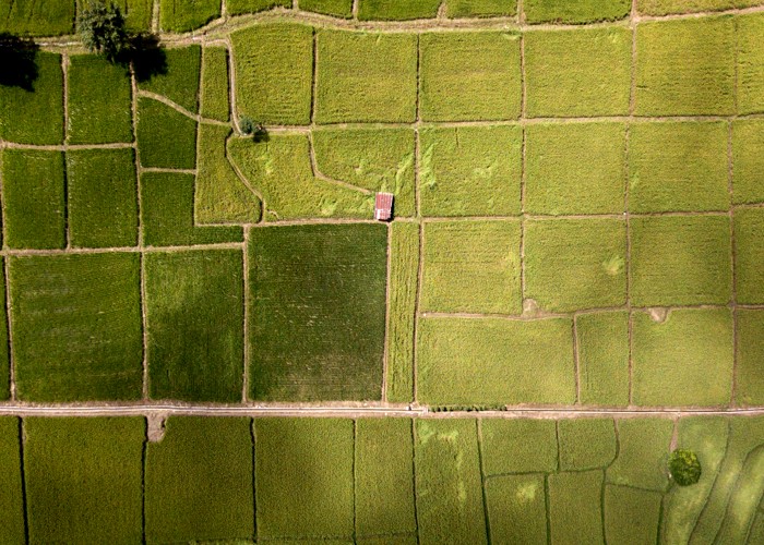
Satellite Image for Precision Agriculture
Smart farming or precision agriculture includes the use of satellite imagery to characterize soil, monitor plant development, and estimate yields, as well as analyze weather data to manage crops, and use drones and high-tech harvesters. Armed with new technology and modern farm monitoring software, growers will be able to independently develop more efficient farming practices, such as the precise use of agricultural chemicals like pesticides and fertilizers, saving time and energy while increasing yields.
Another important feature of precision farming is its ability to benefit individual farmers and entire agricultural clusters by increasing productivity and increasing the economic power of producers. For example, rice farmers can use real-time maps based on satellite imagery to more accurately monitor nitrogen levels in plants as they develop, and then apply fertilizer precisely as much as needed. Producers can also use satellite technology to determine the amount of protein in grains of rice, an important indicator of flavor that helps them know the optimal time to harvest. Adjusting approaches in accordance with the latest data leads to an increase in yields and an increase in product quality while maintaining a stable harvest from season to season. Control over certain qualities and characteristics of the crop will be simplified, opening the way to national markets for regional brands of rice and other niche farm products.
Smart farming also helps local agri-businesses build and maintain their brands by giving them greater control over factors such as quality and yield, and better meeting customer needs and demands. What’s more, farmers in these areas can use smart technologies, such as weather-based growth modeling and remote sensing of crops to coordinate harvest and shipping times. Modern technologies will also be useful for communication with distributors and processing enterprises, which guarantees a stable supply of products and a reduction in logistics costs.
Satellite Analytics for Crop Insurance
Satellite imagery analytics makes it possible to accurately estimate the farmland, find unregistered lands, identify crop rotation violations, and analyze the overall picture of crops state by region. This allows all participants in the land market, including insurers, state-owned companies, and investors, to determine the condition of fields, obtain historical data on individual plots, and more. As for insurance companies, it is an efficient and cost-effective method of observing crop health with the aim of managing crop insurance claims with satellite-derived analytics.
For example, satellite monitoring enables insurance companies to:
- Perform field assessment
- Detect seedlings
- Determine cultivated and uncultivated area
- Cut costs while saving time and resources
- Examine huge areas of land in a couple of clicks
- Accurately quantify the field area
- Predict weather risks and quantify soil and crop damage from natural and man-made disasters
One of the tools that offer those benefits is Crop Monitoring by EOSDA. The software provides the following possibilities:
- Precise field measurement
- Field productivity analysis
- Remote scouting management
- Cold & Heat Stress detection
- Plant moisture level monitoring
- Notifications
With the help of this platform, insurance companies can estimate planted areas, predict yield, monitor agricultural operations and advise growers if necessary, and receive and verify all the necessary data fast, while saving time and resources.
There is no denying that smart farming is progressing at an incredible rate. In order to keep up with the current times, local governments, development centers, agribusiness owners, insurance companies, etc. should keep a close eye on new developments in the rapidly changing field of smart farming technologies to see how those can contribute to their work optimization. And satellite imagery analytics is evidently one of the first technologies that should be on the radar.
Become a Harlem Insider!
By submitting this form, you are consenting to receive marketing emails from: Harlem World Magazine, 2521 1/2 west 42nd street, Los Angeles, CA, 90008, https://www.harlemworldmagazine.com. You can revoke your consent to receive emails at any time by using the SafeUnsubscribe® link, found at the bottom of every email. Emails are serviced by Constant Contact